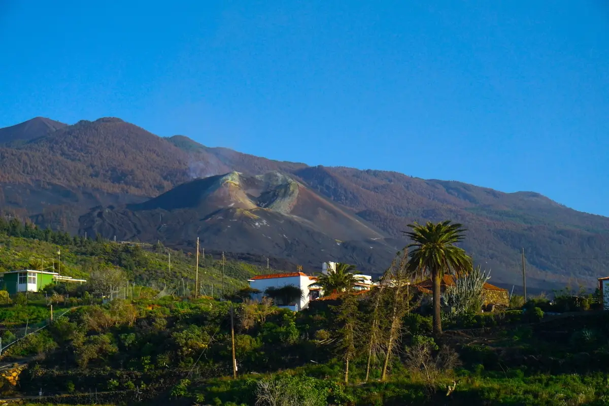
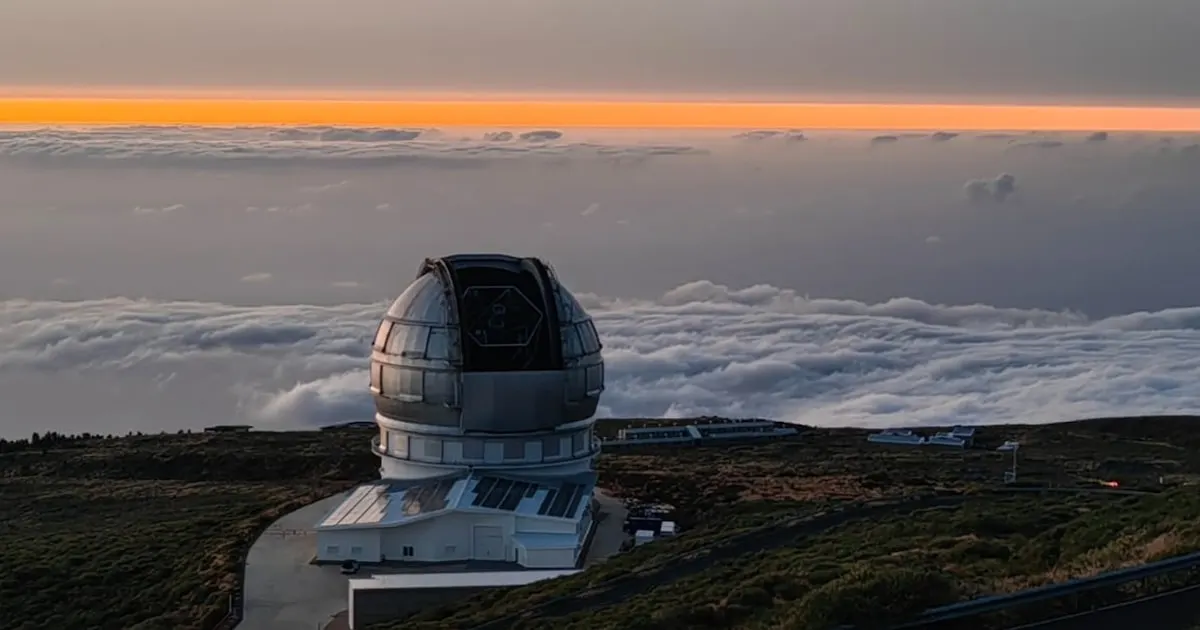
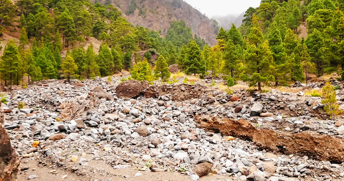
In the middle of La Palma there's an eight-kilometre-wide basin that splits the island into two very different halves: the jagged ring of peaks you see from almost any lookout, and, inside it, a pine forest that very few tourists ever walk down into. That's Caldera de Taburiente, and hiking into its interior is one of the most complete walks you can do anywhere in the Canaries.
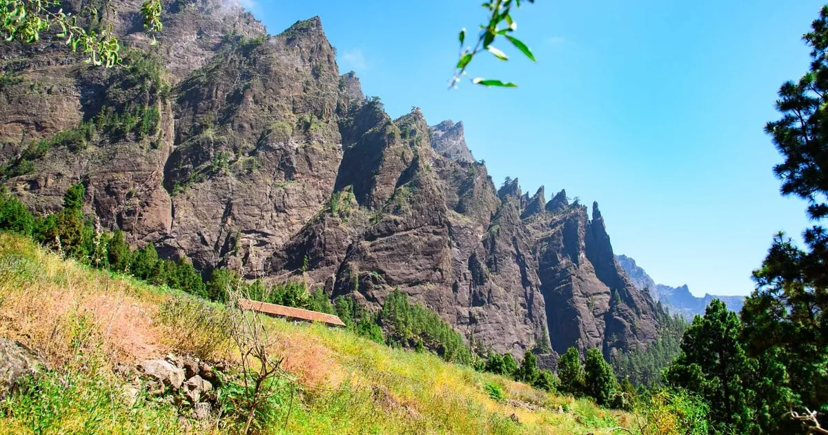
Despite the name, it wasn't formed by a volcanic explosion: it's an erosion basin that rain and ravines hollowed out of the island's old massif over hundreds of thousands of years. The result is a ring of walls up to 1,800 metres high, with Roque de los Muchachos peeking over the northern rim and, down at the bottom, a forest of Canary pines and cedars that survives on the humidity trapped inside. It's been a National Park since 1954, one of Spain's oldest, and there's no road down into it: the only way in is on foot.
Going down on your own takes good fitness and a solid knowledge of the trails, so most people go with the guided tour of Caldera de Taburiente National Park, which picks up in Los Cancajos and Santa Cruz de La Palma and buses you to Los Llanos de Aridane. From there, an off-road bus climbs to the Los Brecitos viewpoint, where the walk starts along the PR LP 13 trail. It runs 6 hours in total and costs €42 per adult, with guide and all transfers included.
From Los Brecitos the trail drops through Canary pines and cedars, crossing wooden bridges over streams that almost never run dry inside the Caldera. Halfway down there's a stop at Playa de Taburiente, a stretch of smooth river stones where you can cool your feet off before carrying on.
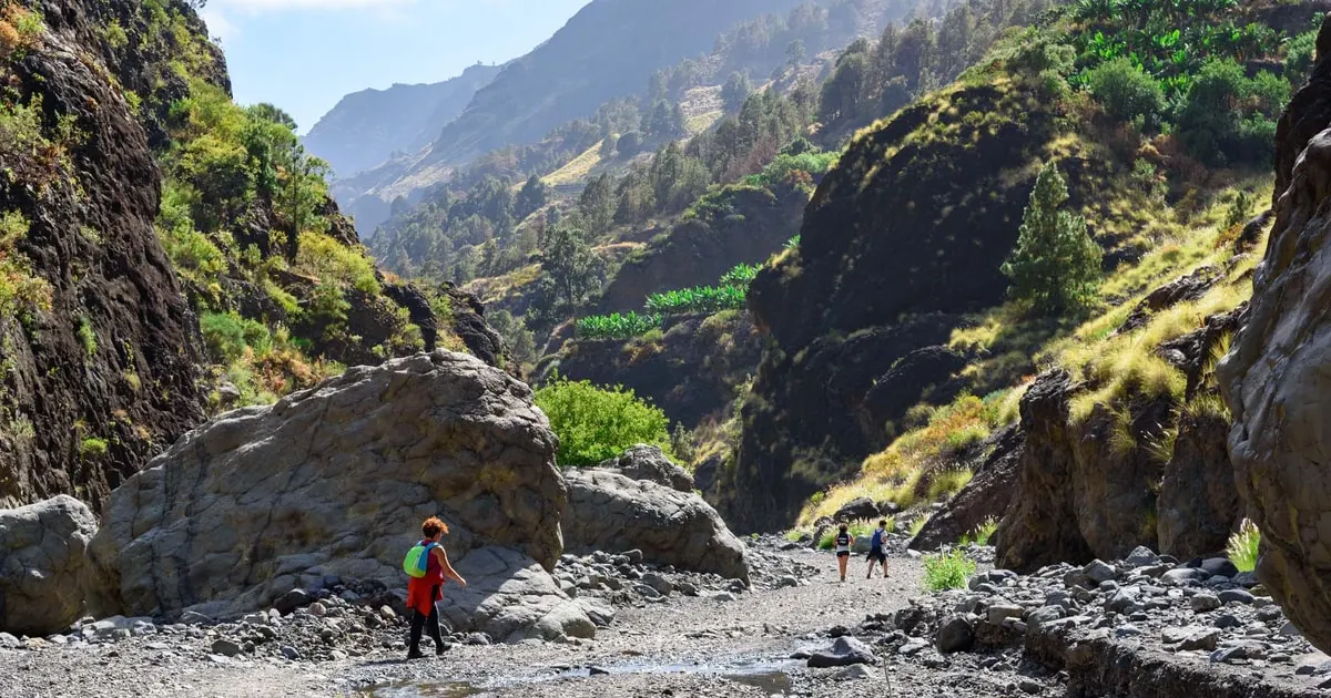
The most photographed stretch comes next: the Cascada de Colores, stained ochre and green by the minerals the water carries down. The trail finishes down the Barranco de Las Angustias ravine to the bus station in Los Llanos de Aridane, where the bus takes the group back to the pickup point.
Can you visit Caldera de Taburiente on your own? Yes, there are self-guided trails for hikers with experience and good fitness, but most people prefer the guided tour because it includes the off-road transfer up to Los Brecitos, a stretch public transport doesn't reach.
How long does the Caldera de Taburiente hike take? The guided tour runs 6 hours in total, with pickup from several points on the island and a bus transfer to the trailhead.
Is this route suitable for kids? The tour isn't recommended for pregnant travellers or anyone with reduced mobility because of the elevation change and uneven ground. Kids should already be used to walking for several hours in a row.
Still planning your La Palma trip? Head up after dark to nearby Roque de los Muchachos for stargazing, cool off in the Charco Azul natural pools or check out all our La Palma tours.

A 5-day plan with the best-rated excursions, real prices and local tips. As a PDF, ready for your phone.
Download the guide (PDF)Free, no sign-up: straight download.